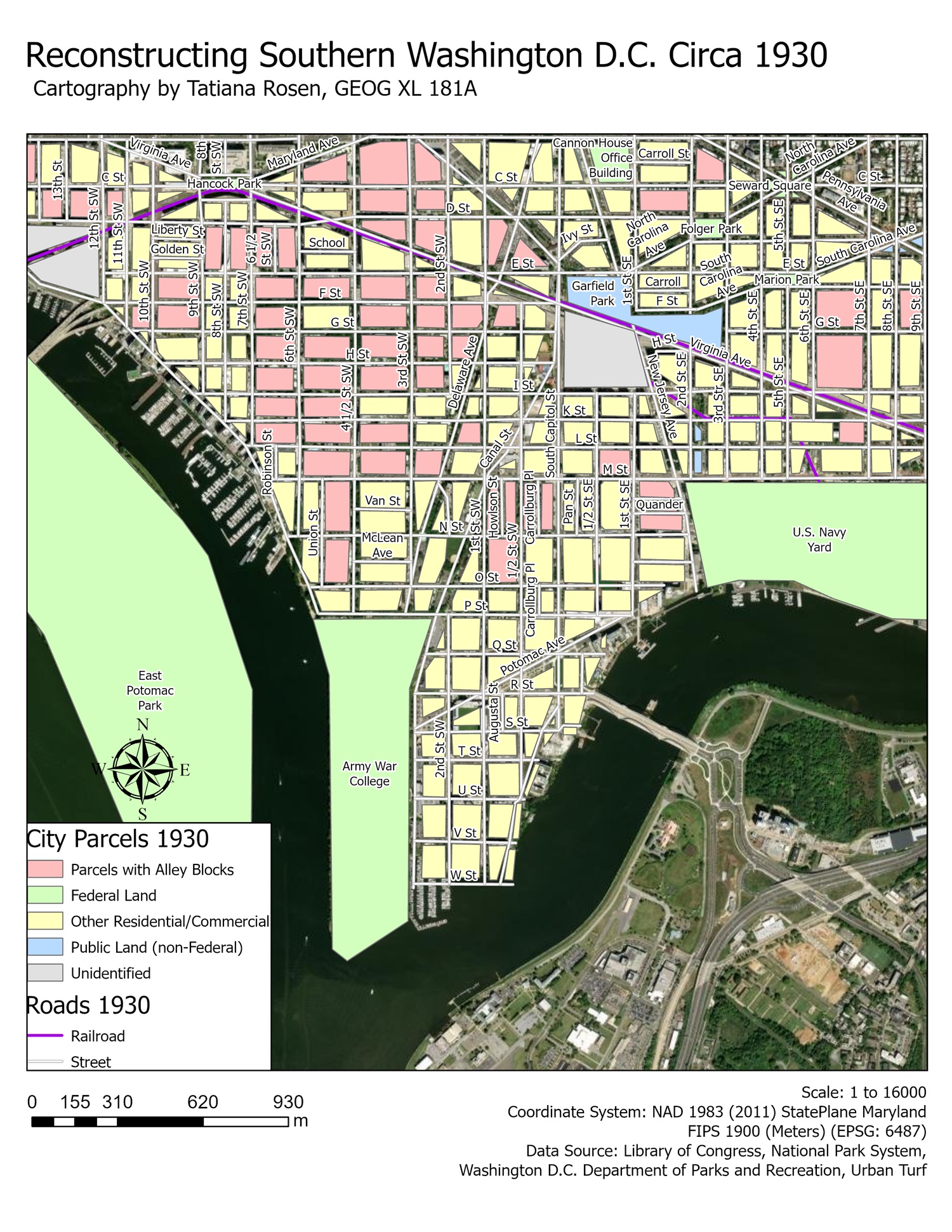
Reconstructing a snapshot of southern DC circa 1930, just before a slew of policies aimed at “urban renewal” would vastly alter the area and displace tens of thousands of majority POC (people of color) residents.
Alley Blocks were parcels that were divided into many different smaller houses or living quarters, created out of necessity as the POC community found themselves progressively limited in where they could live within Washington D.C.. At their peak, thousands of residents would live in these alley blocks, making them a particular target for urban renewal.
Created within ArcGIS Pro, vectorizing data pulled from historic maps from the Library of Congress, the National Park Service, D.C. Department of Parks and Recreation, and more.


Leave a Reply