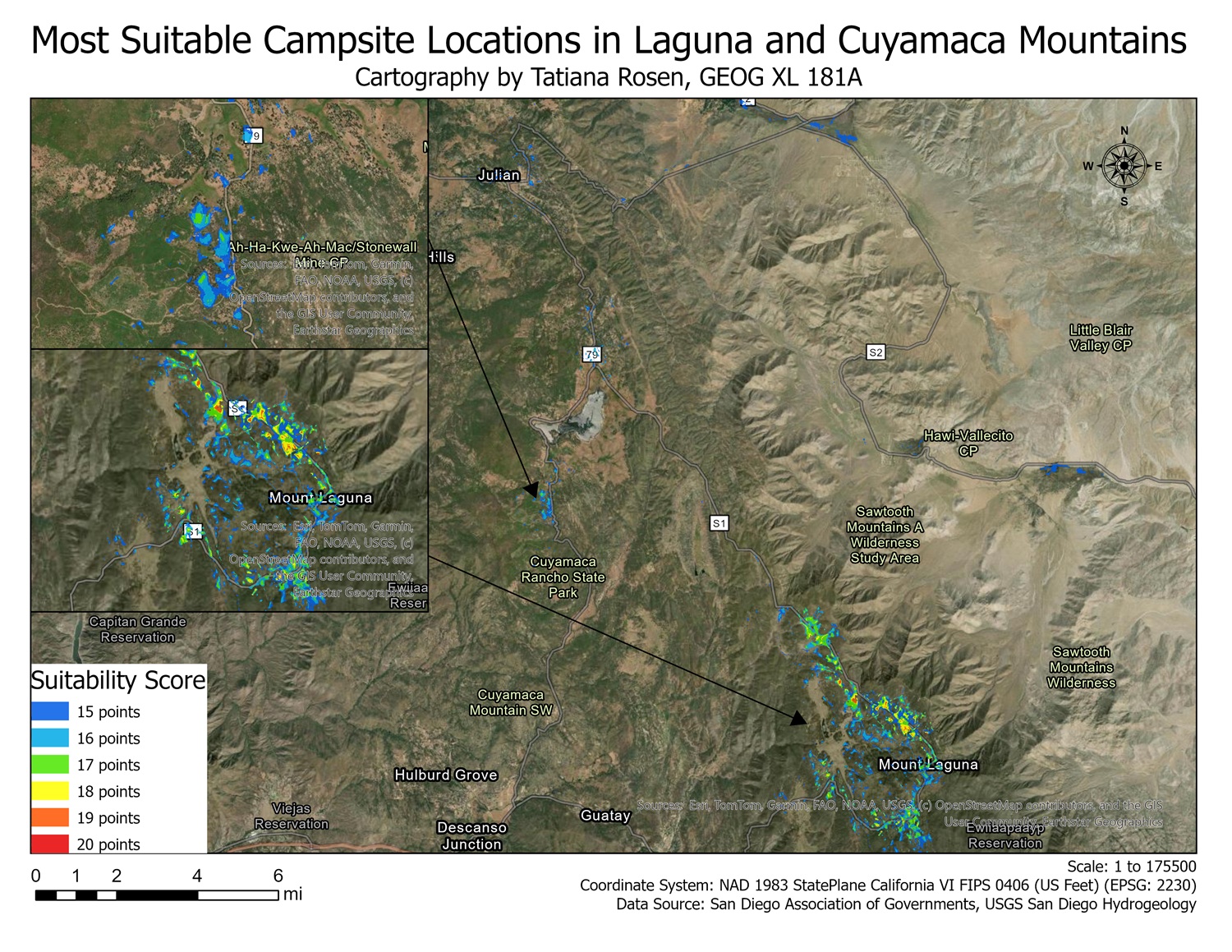
Created by calculating points via five categories: elevation, vegetation cover, slope, proximity to roads, and proximity from waterways (rivers). Sites with the highest scores were located at high elevations with low slope that were close to roads and far from waterways. These locations were also located in areas with forest cover, due to hot summer conditions in areas with no forest.

Leave a comment