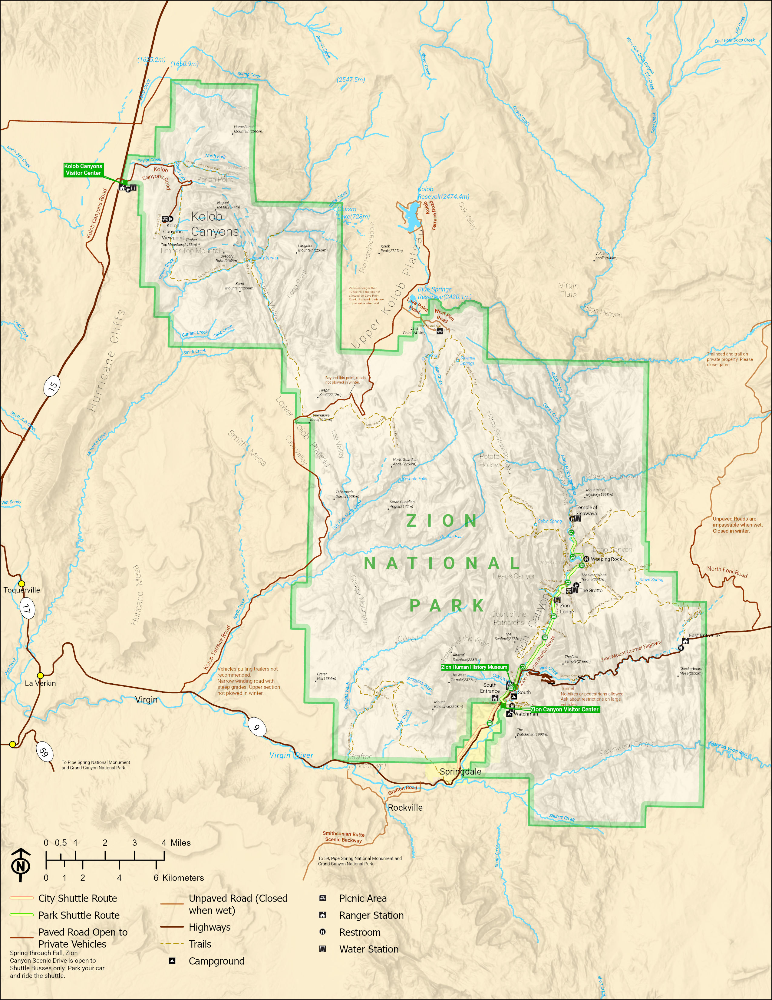
Created within ArcGIS Pro, the map serves as a recreation of official Zion Park maps provided by the National Park System. This recreation served as an exercise in cartographic practices, attempting to fit many necessary elements on a static map in a way that was easy to understand.


Leave a Reply